By Millicent Senava Mannah
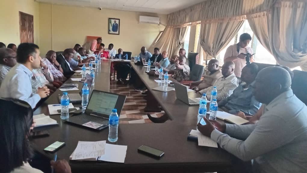
The Ministry of Lands, Housing and Country Planning, led by Director of Country Planning, Sahr M. Kanawa, recently convened a critical Planning Committee meeting to assess the progress of the Resilient Urban Sierra Leone Project. This World Bank-supported initiative is aimed at guiding the spatial development of Freetown and six secondary cities: Bo, Bonthe, Koidu New Senbehun, Makeni, Port Loko and Kenema, by creating comprehensive structural plans to address urban challenges across the nation.
Joseph Macarthy, Executive Director of the Sierra Leone Urban Research Center, emphasized the project's importance in tackling the long-standing issues of urban development in Sierra Leone. “We are all aware of the chaotic trajectory of our urban development, both in cities and settlements across the nation,” he said, highlighting the Government's concern about unregulated urban expansion and its commitment to structured, long-term development plans.
He clarified that while the project’s primary focus is not on relocating residents, some areas may require resettlement for effective urban planning. The Executive Director stressed the importance of collaboration between local and central Governments, alongside other stakeholders, to ensure the project's success. “We provide recommendations to the Government which should work in coordination with local authorities and other partners to achieve those objectives,” he added.
Sarmad Waqas, Project Manager from Osmani & Co. (Pvt.) Ltd., the consultancy firm leading the project, presented the detailed concept plans for five of the secondary cities, including a structural plan for Kenema. He highlighted one of the key challenges of the project: the lack of existing geospatial data.
To address that, he revealed that his team had conducted extensive field surveys, mapping nearly every street in the project cities to collect crucial urban data. “We covered almost every street, capturing geo-referenced photographs to process geo-data for all structures in the project cities; data that was previously unavailable,” he explained.
Sarmad Waqas also mentioned the use of advanced technology, including drone mapping and land-use surveys, to generate comprehensive geospatial datasets. In addition, detailed training sessions were conducted in each city to equip local officials with the skills needed for active participation in data collection and urban analysis, he furthered.
Rebecca Vanathan, an Urban Planner from Iyer, presented the draft structural plan for Kenema, forecasting the city’s transformation into a competitive urban center by 2040, with a significantly increased population and expanded economic activities. “Kenema will be a competitive city by 2040,” Rebecca Vanathan affirmed, stressing the need for Government intervention through bylaws and policies to regulate human activities and mitigate climate change risks. She emphasized the importance of strategic planning in sectors such as forest reserves, agriculture, residential development and local service areas to improve productivity and quality of life.
Director Sahr M. Kanawa acknowledged the severe challenges posed by Freetown’s poor urban planning and stressed the absence of urban planning programs in Sierra Leone’s universities. "It's devastating that we don't have any planning programs in our universities," he lamented, calling for capacity-building in the field. He also urged the consultants to ensure that new developments preserve the unique identities of cities like Kono, known for its mining industry and Makeni, a major trade hub. “We must also explore opportunities such as Kono’s fertile agricultural land and Makeni’s potential as an educational center with the establishment of the University of Technology,” he added.
The meeting concluded with a strong commitment from all stakeholders to collaborate in shaping a sustainable and resilient future for Sierra Leone’s cities.
No comments:
Post a Comment